EEVRA N2 HISTORY & LOCAL FACTS
The history of East End Village is a rich tapestry of places, people, performers, businesses and developments and this cultural diversity is a fundamental driver in shaping the unique community we see today. The following is a description how this area acquired its name:
Geographical Position: The name derived simply from its location at the eastern side of the parish, bordering the area that was still known as Finchley Wood until the 17th century and, by 1800, was known as the eastern part of the infamous Finchley Common.
Settlement and Development: In the early 19th century (c. 1800-1830), the area consisted of small, clustered hamlets along what is now East End Road, which acted as a link between the old Great North Road and Church End.
The "East End" Reputation: In the 1800s, this section of the parish had a reputation for being less fashionable than other parts of Finchley, with a "seedy" reputation for rowdiness and immorality.
The Name Evolution: While known as "East End" in the late 18th and early 19th centuries, it only began to take on the formal name "East Finchley" as it gained independence from the main parish with the creation of its own parish and church in 1846, and later with the opening of the railway station, which was renamed from East End to East Finchley in 1886.
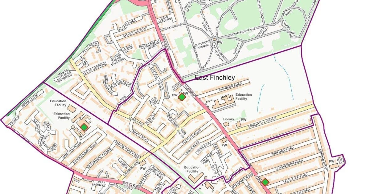
There have been many changes in our area generated by national, merchant, religious and commuter requirements including livestock markets, circus, waste management, monasteries and transport. The local landowning nobles, merchants and religious communities have all affected the naming of our area streets, houses, schools and parks. The following links are to maps from 1830 to 1965:
OS map covering 1830 to 1880 - Note reference to East End rather than East Finchley: https://maps.nls.uk/geo/explore/#zoom=16.1&lat=51.59375&lon=-0.17464&layers=262&b=257&o=2&marker=51.59304,-0.17590
OS 1885-1890 - Hamilton, Brackenbury and part of Manor Park Road can be seen. No Sedgemere Avenue yet: https://maps.nls.uk/geo/explore/#zoom=14.1&lat=51.59375&lon=-0.17464&layers=262&b=1&o=2&marker=51.59304,-0.17590
OS 1888-1915 - still no Sedgemere: https://maps.nls.uk/geo/explore/#zoom=16.1&lat=51.59374&lon=-0.17569&layers=262&b=6&o=2&marker=51.59304,-0.17590
OS 1919-1930: https://maps.nls.uk/geo/explore/#zoom=14.5&lat=51.59475&lon=-0.17244&layers=262&b=256&o=2&marker=51.59304,-0.17590
OS 1945-1965: https://maps.nls.uk/geo/explore/#zoom=15.1&lat=51.59488&lon=-0.17441&layers=262&b=219&o=2&marker=51.59304,-0.17590
OS 1954-1975: https://maps.nls.uk/geo/explore/#zoom=15.5&lat=51.59455&lon=-0.17604&layers=262&b=269s&o=2&marker=51.59304,-0.17590
Please see the following link to OS aerial photos 1944-1950: https://maps.nls.uk/geo/explore/#zoom=15.5&lat=51.59455&lon=-0.17604&layers=262&b=9&o=2&marker=51.59304,-0.17590